Flood zone basics to check before you tour a waterfront home
By Juniper Hale (fictional) ·
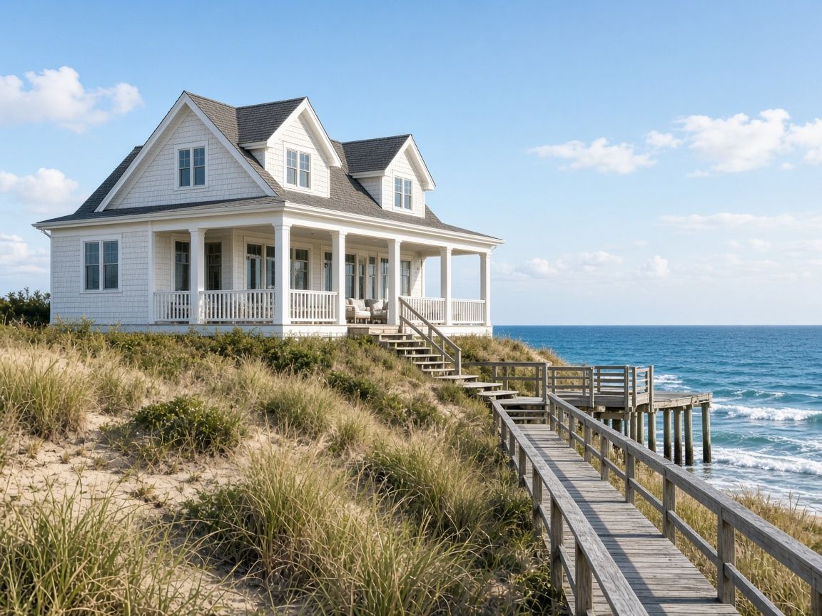
Short answer: before you tour any waterfront home in Saltmarsh Bay, check three things: the mapped flood zone, the elevation certificate, and a ballpark insurance quote. Together they tell you more about long-term cost than the listing photos do.
1. The mapped flood zone
Flood maps group properties into risk zones. A home in a higher-risk zone usually needs flood insurance if you use a mortgage. Juniper includes the zone on every showing sheet. (This is a fictional demo market, so the zones here are illustrative.)
2. The elevation certificate
The elevation certificate shows how high the lowest floor sits compared with expected flood levels. Two homes on the same street can have very different insurance costs because of a few feet of elevation.
3. An insurance estimate range
Ask for a quote range early. In this demo, Juniper gets a range from two carriers before you write an offer, so you are never surprised at closing.
Want a showing sheet for a home you saw online? Send the address through the contact page.
Content note: Articles on this site may be drafted or assisted by AI and reviewed before publication. AI tools can make mistakes or miss context. This content is for general information only and is not legal, tax, lending, or financial advice. For guidance about your specific property, contract, financing, or move, contact Juniper Hale directly or speak with the appropriate licensed professional.
More from the blog: Buying a home with a private dock: 5 questions to ask